Mount Katahdin, Maines shortest and ugliest
mountain and the
end of the A.T., is located in Baxter state park. The name Katahdin means “great mountain”, and it is named
rightly so. Mount Katahdin has an elevation of 5,269 feet tall. A round hike to the peak and back may take
the average hiker around ten hours.
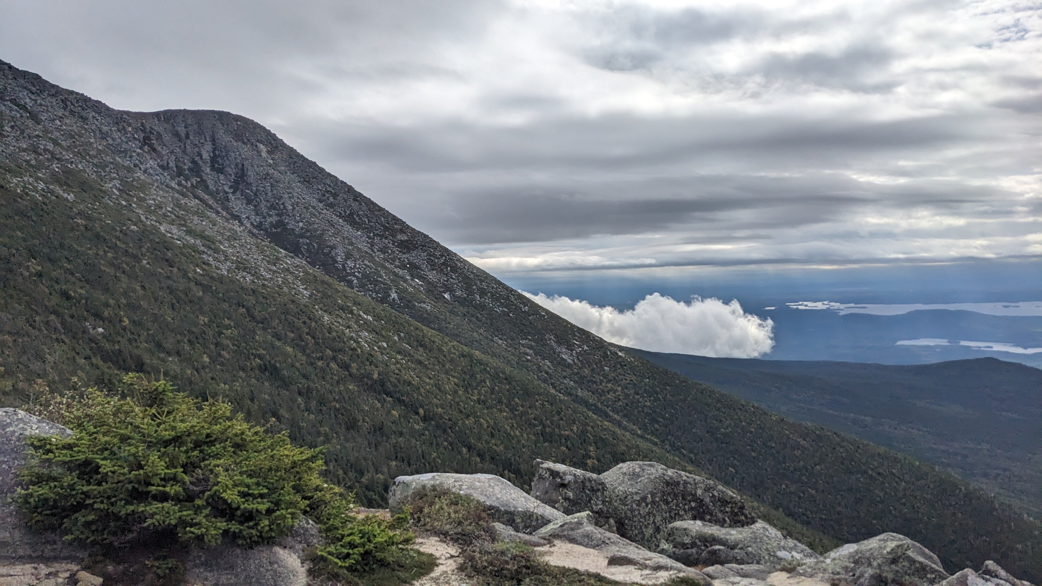
Baxter peak is a hard point to achieve, but it
gives a rewarding view. A.T. hikers finish their six-plus
month journey here. There are also many species of plants and nature that live on the mountain.The view can
seem to be from a different planet sometimes.
Baxter state park is Maines largest wilderness.
It features thick and lush foliage, and the forests are deep
green. Baxter has a few campgrounds; Katahdin stream is one of them. Hikers can rest in a lean-to and enjoy
the beauty of Katahdin stream.

Katahdin stream campground is like the doorway to
Baxter’s large wilderness. It is located right near the
beginning of one of Mt. Katahdin's trails.
This campground actually sits right on the A.T. and campers can see the white blaze on trees that mark the
path.
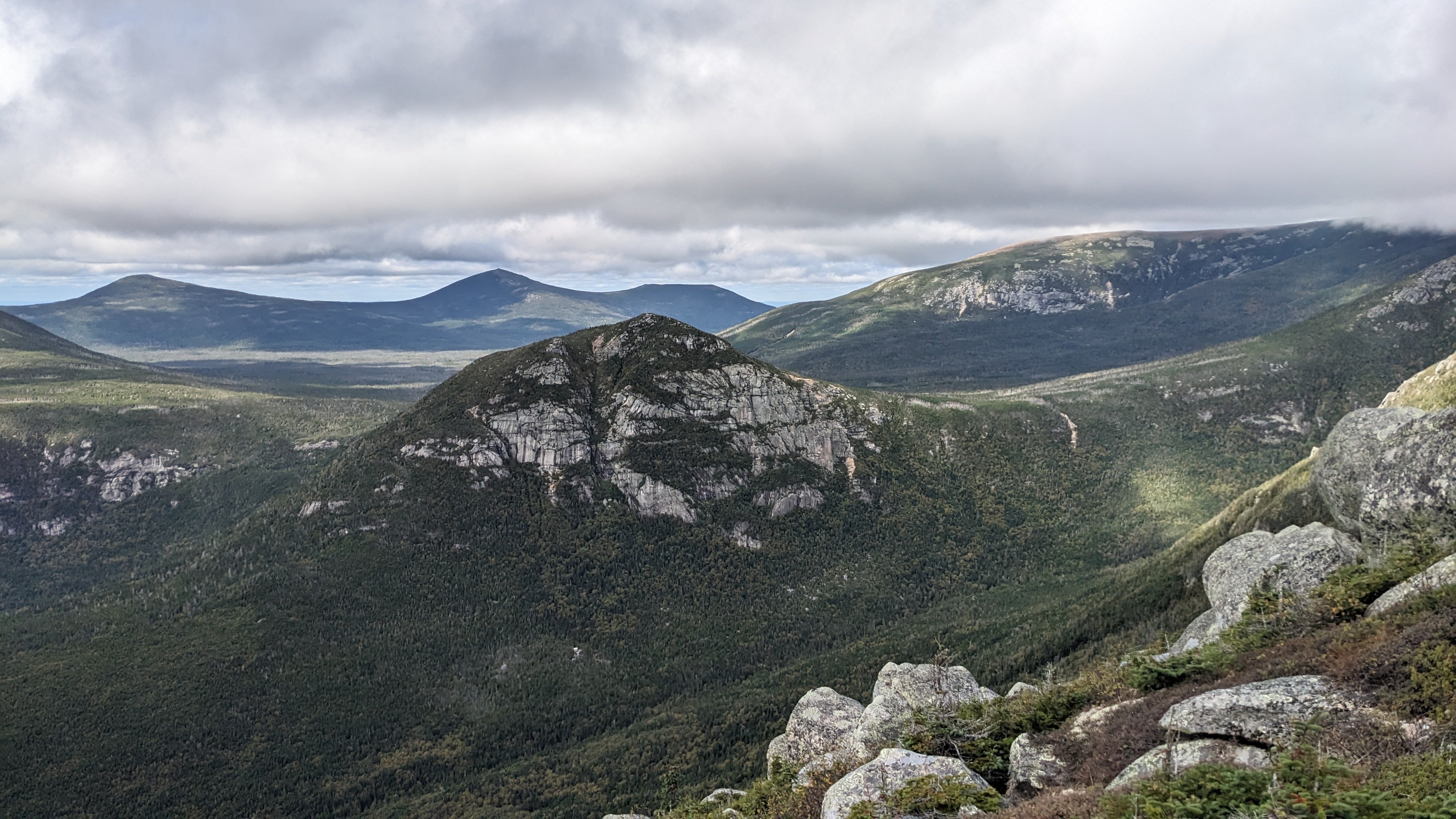
Katahdin mountain is a wonderful place to hike. It contains,
perhaps, some of mains best scenic views from
altitude. It also has a little bit of its own range of terrain. From waterfalls, to boulders, to a treeless
table land, it has a lot in its wilderness of a mountain.
It can be a little bit of an emotional experience for people
who are finishing the Apalachin trail. This trail
takes months to finish, and many do not finish all the way to the end. Around three thousand people finish
every year. Many more will hike on parts of it, or hike trails that connect, cross, or lead to/from it